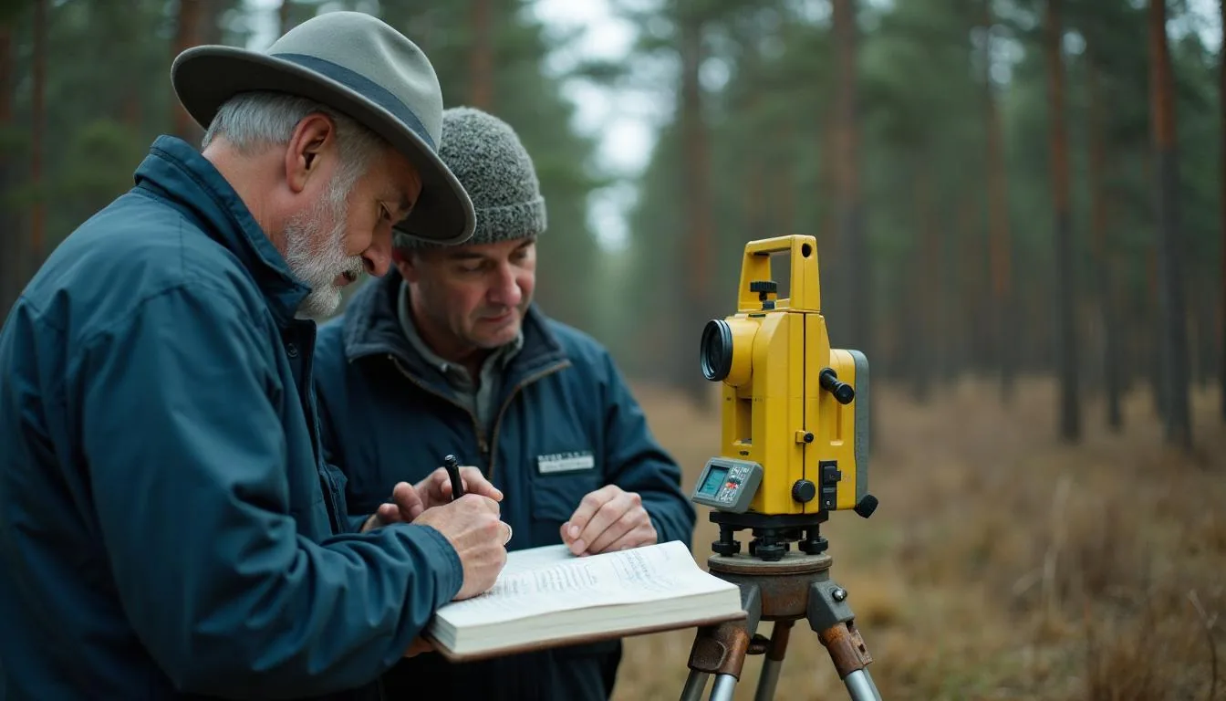
Land surveying software that gets the record of survey filed inside the 90 days the statute allows
Land surveying is the practice of locating and re establishing boundaries on the ground and recording what was found, so that a later surveyor can retrace the same lines and reach the same corners. The filing is part of the work rather than paperwork after it: California requires a record of survey to be filed with the county surveyor within 90 days of setting boundary monuments or completing the field survey, whichever comes first. Neurobird holds the job, the field evidence and the filing clock on one record.
Neurobird Land Surveying in short
- Start the filing clock the day monuments are set, not the day the drawing is finished
- Keep field evidence against the parcel so the next retracement starts from something real
- Track which jobs disclose a discrepancy and therefore must be filed rather than may be
- 90 days Deadline for filing a record of survey with the county surveyor, running from the setting of boundary monuments or completion of the field survey, whichever occurs first. A delay outside the licensee's control needs a letter to the county surveyor before the 90 days expire. California Business and Professions Code 8762
- 10 days Time the county recorder has to return the filing data, meaning the date and the book or volume and page, when the preparer supplies a postage paid envelope or postcard with the filing. California Business and Professions Code 8762
- Pricing runs 99 to 960 US dollars per month across 3 tiers. Early access is free.
What land surveying firms and county survey departments actually deal with
Why it stays broken
A survey is an argument about evidence, and the evidence lives in field books, in a county filing cabinet and in somebody's memory of a fence line. The filing duty is triggered by what the field work discloses, so the deadline starts on a fact the office does not hear about until the crew comes back in. CAD holds the drawing and accounting holds the invoice, and the part that carries legal weight, meaning what was found and when it was filed, stays on paper.
California Business and Professions Code 8762 requires a record of survey to be filed within 90 days after setting boundary monuments or after completing the field survey, whichever occurs first.
The corners of the townships must be marked with progressive numbers from the beginning; each distance of a mile between such corners must be also distinctly marked with marks different from those of the corners.
Neurobird Land Surveying Inspection Tracking Platform
One record per job: the client and the parcel, what the crew found and where, the monuments set and the corner records they trigger, the plat and the seal on it, and the filing date the statute is counting toward.
- 1Start the filing clock the day monuments are set, not the day the drawing is finished
- 2Keep field evidence against the parcel so the next retracement starts from something real
- 3Track which jobs disclose a discrepancy and therefore must be filed rather than may be
- 4Hold a corner record for every accessory found, set, reset or used as control
What changes with Neurobird Land Surveying?
The same work, read left to right: how it runs today, and how it runs once the record is in one place.
| Today | With Neurobird Land Surveying |
|---|---|
| The crew set monuments in March and the record of survey was still on a desk in July | Start the filing clock the day monuments are set, not the day the drawing is finished |
| Two jobs on the same block were run by different crews and neither knows the other found the same corner | Keep field evidence against the parcel so the next retracement starts from something real |
| A licensee's seal goes on a plat built from field notes nobody can locate a year later | Track which jobs disclose a discrepancy and therefore must be filed rather than may be |
Who is this for?
The same corner, three different practices.
You retrace old lines
Deeds, old maps and fences that disagree with each other. You need the evidence found on each job held against the parcel, not filed by job number in a drawer.
You run several crews
Field work in three counties at once, each with its own filing office. You need the filing deadlines visible in the office while the crews are still out.
You work the PLSS
Section corners, quarter corners and accessories under 43 U.S. Code 751 and 752. You need corner records raised for every corner used as control, not only the ones you set.
How does Neurobird Land Surveying work?
Open the job
Client, parcel, county and the deed or map the work is retracing, captured before the crew leaves so the evidence has somewhere to land when it comes back.
Record what was found
Monuments found, monuments set, accessories, and the discrepancies that decide whether a record of survey is required rather than merely permitted.
File inside the window
The 90 day clock runs from the earlier of setting monuments or completing the field survey, and the record carries the filing, the county response and the filing data that comes back with it.
The job board, as your survey office would work it
Close a field day and watch the monuments, the corner records and the filing clock move together.
Tap an asset to log a scan and timestamp the inspection.
What the statutes say about survey records
One state written out in full on when a record of survey and a corner record are required, the federal statutes that fix how public land corners are laid out and treated, and the qualification standards two authorities publish.
Deadline for filing a record of survey with the county surveyor, running from the setting of boundary monuments or completion of the field survey, whichever occurs first. A delay outside the licensee's control needs a letter to the county surveyor before the 90 days expire.
California Business and Professions Code 8762Time the county recorder has to return the filing data, meaning the date and the book or volume and page, when the preparer supplies a postage paid envelope or postcard with the filing.
California Business and Professions Code 8762The section requiring a corner record for every corner established by the Survey of the Public Lands and for every accessory to that corner which is found, set, reset or used as control, with lost corners handled by a record of survey instead.
California Business and Professions Code 8773Nominal size of a section under the rectangular survey. Townships run six miles square and are subdivided into 36 sections by lines a mile apart with corners marked every half mile, and any excess or deficiency is thrown into the western and northern ranges.
43 U.S. Code 751Minimum coursework in land surveying subjects Georgia requires of every applicant, on top of three years of combined office and field experience with a bachelor's degree, five with an associate's degree, or eight with a high school diploma.
Georgia Code 43-15-13 and Board rulesAdditional surveying related coursework the federal qualification standard asks for in the 1373 series, on top of 6 semester hours of surveying and 3 semester hours of land law.
OPM land surveying series 1373Land surveying software questions, answered
Key terms
- What is land surveying?
- It is the practice of locating and re establishing property boundaries on the ground and recording the evidence, so a later surveyor can retrace the same lines. In public land states the retracement runs on 43 U.S. Code 752, which fixes the marked corners as the proper corners of the sections they were meant to designate.
- What is a record of survey and when must it be filed?
- It is the map filed with the county surveyor after a field survey. California requires it whenever the survey discloses material evidence or a material discrepancy that is not on an existing map, and it must be filed within 90 days of setting monuments or completing the field survey, whichever comes first.
- What is the difference between a corner record and a record of survey?
- A corner record covers corners established by the Survey of the Public Lands and their accessories, including accessories used only as control. A lost corner, once re established, takes a record of survey instead.
Does this replace our CAD or field software?
No. The drawing stays where it is. This holds the job, the evidence found, the monuments set and the filing deadlines that follow from them, which is the part CAD was never built to carry.
How does it handle several counties at once?
Each job carries its own county and its own filing rule, so a deadline is calculated from the job rather than from one firm wide default that is right in one county and wrong in the next.
Why we are building this
We went looking for work where the deadline starts in the field and the paperwork happens in an office that does not know yet, and land surveying kept coming up. Monuments go into the ground on a Tuesday and a statutory clock starts running that same afternoon, whether or not the drawing is anywhere near finished. That is a record problem, and record problems are what we build. The statutes we read while scoping this are linked above, so you can check our reading of them instead of taking our word for it. If we have a state wrong, tell us and we will fix it.
Where the requirement comes from
Primary sources, straight from the regulators.
- California Business and Professions Code 8762, record of survey The five findings that make filing mandatory, the 90 day clock and what to do when you cannot meet it.
- California Business and Professions Code 8773, corner record Which corners and accessories require a corner record, and why a lost corner takes a record of survey instead.
- 43 U.S. Code 751, rectangular survey of public lands Townships six miles square, 36 sections, corner marking, and what happens to excess and deficiency.
- 43 U.S. Code 752, boundaries and contents of sections Marked corners are the proper corners, returned line lengths are the true lengths, and unmarked corners go equidistant.
- Georgia Board rules, land surveyor licensure Education and experience paths, the three examinations, and the plats an applicant has to submit.
- OPM qualification standard, land surveying series 1373 The federal coursework definition of a surveyor, useful when you are writing a job description rather than a plat.
How much does Neurobird Land Surveying cost?
Priced per operation because the filing duty follows the licensee rather than the number of jobs. Jobs, parcels and evidence files are unlimited on every tier.
- One licensee
- Unlimited jobs
- Filing deadline alerts
- Evidence library
- Multiple crews
- Corner record tracking
- County filing status
- Parcel history
- Several offices
- Cross county rule sets
- Client access
- Priority support
Get free early access
Early access means we load your open jobs, your counties and your current filing backlog before you type anything, and the account stays free while we do it.
Straight answer on where this is: The software is in development. Nothing is purchasable today. Early access means you shape it and pay nothing while we build.
Prefer email? Write to office@neurobird.com and a person will reply. No autoresponder.